Where To Find Usable Acreage In Goldendale
January 1, 2026
January 1, 2026
Looking for flat, buildable land around Goldendale can feel tricky. You want enough level space for a home and outbuildings, straightforward access, and the utilities to make daily life work. The good news is that Goldendale’s landscape gives you clear patterns to target, once you know where to look and what to verify. This guide shows you the best areas to focus on, what to expect for utilities and permits, and the steps to vet a parcel with confidence. Let’s dive in.
“Usable” depends on how you plan to use the land. A parcel that works for grazing might not suit a house, a large shop, and a septic system without major site work. In the Goldendale area, flat ground is helpful, but soils, water, access, and zoning make the real difference.
Buildability is not just topography. You should confirm septic suitability, likely well depth and yield, power access, and any flood, fire, or access constraints. A little due diligence upfront will save you time and cost later.
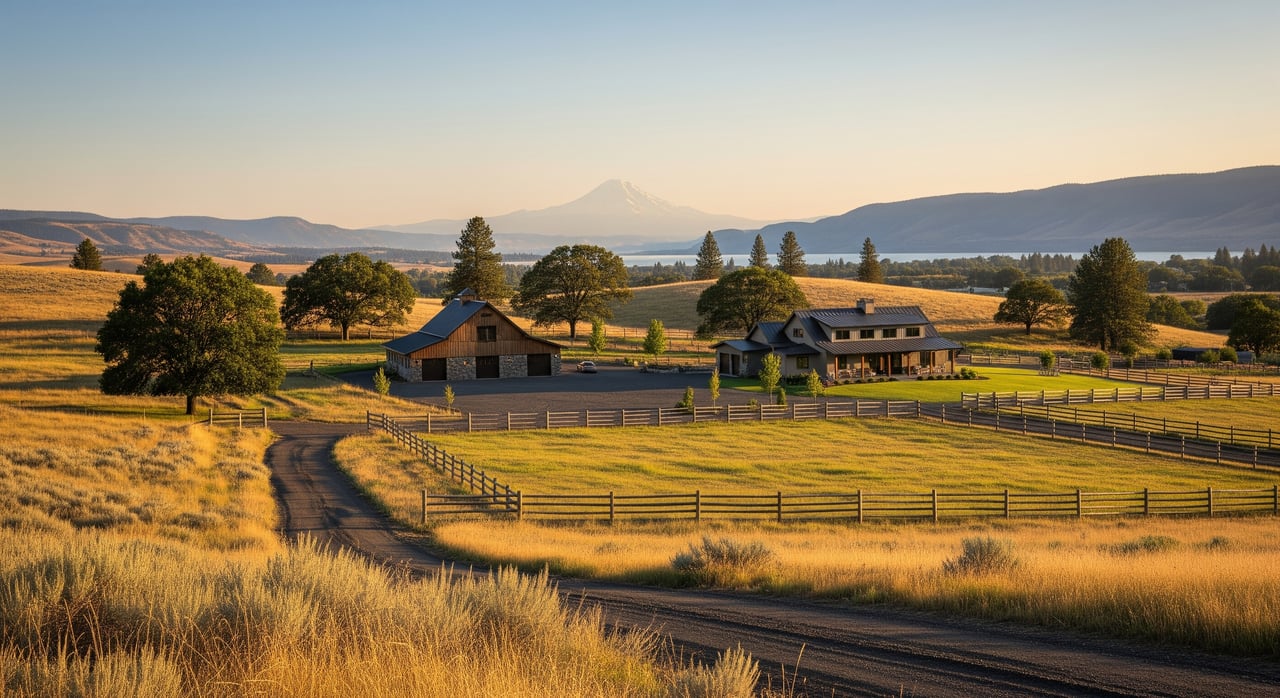
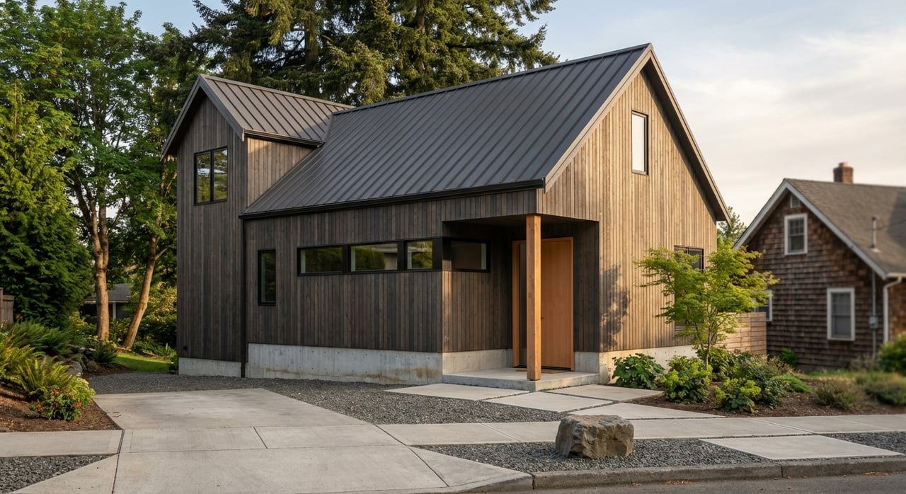
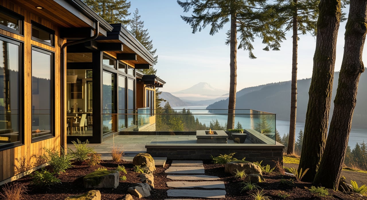
If you want the simplest path to utilities and materials, start within 0 to 5 miles of Goldendale’s city limits. These parcels tend to be flatter, closer to paved roads, and near the town’s limited utility corridors. Many are former agricultural or rural residential tracts with straightforward building logistics.
Expect a higher price per acre than remote parcels and a bit more structure in zoning and building codes. The tradeoff is shorter drives, faster hookups where available, and easier permitting and deliveries.
Low-lying areas often provide the flattest ground and deeper soils, which is helpful for pasture, orchards, hay, and large-footprint buildings. If your priority is level land and agricultural potential, valley floors and old ag fields within 5 to 15 miles of town are worth targeting.
Check for floodplain designations and seasonal groundwater. Wet soils can affect septic feasibility and raise costs. A professional site and septic evaluation is a smart move before you commit.
Benchlands and rolling plateaus 10 to 25 miles from town can deliver the best per-acre value with multiple potential building sites. These areas are typically gently rolling to mostly flat, with a long history of agricultural or rangeland use.
Expect more wind exposure on open benches and county gravel roads rather than pavement. Utility extensions can be longer, but many parcels still offer reasonable access to services while keeping your options open.
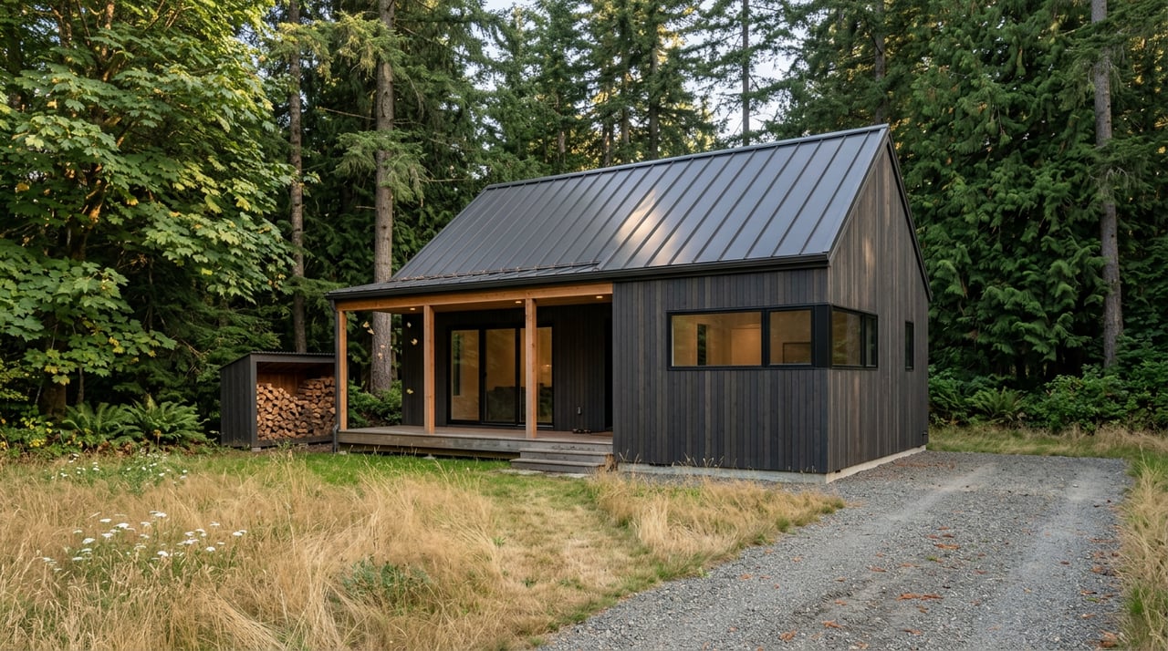
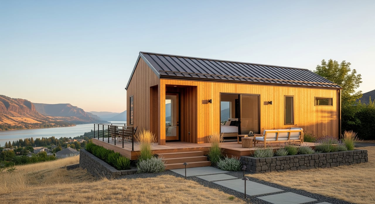
If you want privacy, trees, and views, the hills, draws, and forested areas beyond roughly 10 miles from town may fit your goals. These parcels can be beautiful, yet they usually come with less contiguous flat area and more complex site work.
Plan for higher wildfire considerations, potential erosion issues, and possible restrictions tied to forest or resource zoning. Land like this can be ideal for a tucked-away home, as long as your need for large, level pads is limited.
Farther out, you’ll find larger acreage with attractive pricing. These parcels work best if you are comfortable with wells, septic, and off-grid or hybrid systems.
Expect longer travel times, seasonal road concerns, and more due diligence around access and utilities. If you value privacy and size, this category can deliver, provided you plan carefully.
Use a distance-and-direction mindset rather than focusing on neighborhood names. Refine your search using Klickitat County parcel maps, topography, and road data.
Municipal water is generally limited to properties inside Goldendale and immediate subdivisions. Most rural parcels rely on private wells. Well depth and yield vary across the county, and mineral content like iron or hardness is common.
Plan on reviewing nearby well logs and ordering a professional well test. If you intend to irrigate from surface water, you may need water rights that align with your use.
Outside the city, septic is the norm. Soil type, drainage, and seasonal high groundwater determine feasibility. A site evaluation and percolation test by a certified designer is essential if you plan to build.
Septic feasibility impacts where your home and outbuildings can go, so get this step done early. It is especially important in low-lying or wetter soils.
Overhead power is common in rural Klickitat County, but long service drops can get expensive. Off-grid and hybrid setups that combine solar, batteries, and a backup generator are common in more remote areas. Many rural homes use propane for heating and cooking where natural gas is not available.
Before you write an offer, contact the local utility to confirm distance to the nearest transformer and get a serviceability estimate.
Expect a mix of paved state and county roads near town, shifting to county gravel and private access roads farther out. Confirm who maintains the road, whether there is a road agreement, and whether access is legal and recorded.
Seasonal accessibility can be an issue on higher elevation or less maintained roads. Visit at different times of year when possible.
High-speed internet access varies. Cable or DSL often sits close to town corridors, while satellite and fixed wireless fill gaps in rural areas. Cell coverage can be spotty in some valleys and on certain hilltops, so test coverage on site.
Build a communications plan that matches your work and lifestyle needs. It can be a deciding factor if you work remotely.
Klickitat County regulates accessory buildings, agricultural structures, and guest dwellings. Simple storage sheds may have streamlined permitting, while larger shops and animal structures can trigger full building permits and septic or heating requirements.
Setbacks, height limits, and land-use designations affect what is allowed. Confirm zoning, minimum lot size, and any overlay districts with the county before you design your site plan.
Parts of eastern Washington face significant wildfire risk. Parcels with heavier brush or timber often benefit from defensible-space measures, which can also help with insurance availability.
Check local wildfire mapping and plan to maintain access routes and clearance around structures. Building materials and layout can make a difference in resilience.
If any of these appear, adjust your site plan, add contingencies, or keep looking.
Finding usable acreage in Goldendale gets easier when you match your goals to the right land types and verify utilities early. Start near town if you want a smoother path to building, explore valley floors for agricultural potential, and look to benchlands for value with multiple build pads. With a clear checklist and the right local support, you can move from searching online to standing on the right piece of ground with confidence.
If you want help narrowing your search or you are ready to walk parcels, reach out to Chrissy & Brock Wood. We live and work across the Gorge and can guide you through feasibility, utilities, and a practical path to closing.
Stay up to date on the latest real estate trends.
Chrissy and Brock cover a lot of real estate ground and knowledge and have the experience and expertise to do it all. They also have established relationships and connections with local resources to help ensure that clients are well taken care of before, during, and after a transaction.
BROCK & CHRISSY WOOD
Chrissy Wood - Licensed in WA & OR
(425) 418-3988
Brock Wood - Licensed in WA & OR
(509) 637-4400
315 Oak St Ste 200 Hood River OR 97031