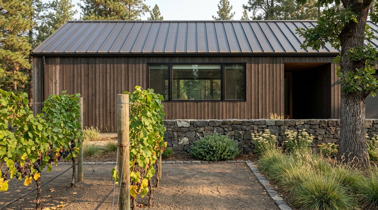
Lyle WA Hiking Trails Open Now: Where to Walk Today
August 20, 2026
August 20, 2026
If you asked someone in Lyle three months ago where to take an evening walk, the answer was almost automatic: up to the Cherry Orchard. The switchbacks above town, the view across the river to Rowena, the old orchard trees still hanging on at the top of the bluff. That answer does not work right now, and it will not work for a while.
The Lyle Cherry Orchard Preserve has been closed since late June, and the closure has no end date attached to it. That alone is worth knowing if you have not checked in the last few weeks. What is less obvious, and more useful if you actually live here, is that a second trail closure is happening at the same time for a completely different reason, and the two get confused constantly. One is a wildfire recovery. The other is routine, happens every single year, and has nothing to do with what burned above town. Sorting out which is which tells you where you can still walk today.
The Lyle Hill Fire started on June 28 and was contained by July 3, but not before it burned 226 acres on the hillside above town. More than 90 of the preserve's 540 acres burned directly, according to Friends of the Columbia Gorge, the land trust that owns and manages the property. Willamette Week reported that no lives or homes were lost, but the trails themselves need repair and the burned oak woodland has to be assessed tree by tree before anyone can safely walk through it.
Land trust director Gabe Sheoships told KPTV the closure was about clearing space for crews and protecting the community while the fire was active, and the organization has been clear since that there is no reopening date. Volunteer stewardship days are planned once the assessment is finished, but that work has not started yet.
Meanwhile, a separate stretch of trail closes every year around this time for a reason that has nothing to do with fire damage and everything to do with fire risk. The Swale Canyon section of the Klickitat Trail, the remote eastern portion that runs from Klickitat toward the Goldendale Plateau, shuts down annually based on a fire danger determination from the Washington Department of Natural Resources. According to the Klickitat Trail Conservancy, that closure began June 21 this year and typically lifts in early to mid October. It is not new, it is not related to the Lyle Hill Fire, and it happens whether or not anything actually burns.
Here is the difference in plain terms:
| Lyle Cherry Orchard Preserve | Swale Canyon (Klickitat Trail) | |
|---|---|---|
| Cause | Wildfire damage, June 2026 | Annual fire-danger closure |
| Reopens | No date set | Typically early-to-mid October |
| Managed by | Friends of the Columbia Gorge | Washington State Parks / DNR |
Confusing the two means you might assume the whole Klickitat Trail is off limits when most of it is not.
The section of the Klickitat Trail that starts at the Lyle Trailhead and runs toward the town of Klickitat is a different piece of trail entirely, managed by the U.S. Forest Service, and it is open right now. This is the stretch locals have been quietly shifting toward while the Cherry Orchard sits closed, and it solves a few problems the Cherry Orchard hike never did.
The first 1.6 miles out of Lyle are packed gravel, easy underfoot, and lead to the Fisher Hill Trestle, a rail bridge that has been redecked and crosses the canyon at what has long been a traditional Native American fishing site. A round trip to the trestle and back runs about 3.2 miles, nearly flat the entire way, following the old Columbia River & Northern Railroad grade along the Klickitat River. If you keep going past the trestle, the trail continues another 13 miles from Lyle toward the town of Klickitat, none of which touches the Swale Canyon closure.
A few things worth knowing before you go:
This is a genuinely different walk than the Cherry Orchard ever was. No scree, no rattlesnake sightings that regularly show up in trail reviews of the bluff trail, no poison oak crowding the path the way it does above town. It is shaded in places, flat, and it runs alongside moving water the whole way, which matters more than it sounds like it should when the afternoons are still hot.
If a flat rail-trail walk is not what you are after, a few other spots are worth the short drive. The Balfour-Klickitat Day Use Area sits directly across the river from the Lyle Trailhead and offers a quieter riverside stretch without the trestle traffic. Doug's Beach State Park sits a short drive east of town, past the closed Cherry Orchard trailhead, and has vault toilets and a popular put-in for windsurfers and kiteboarders taking advantage of the same Gorge wind that built White Salmon's reputation.
For an evening that ends somewhere other than a trailhead parking lot, Klickitat Canyon Winery still runs its vineyard and production tasting room as a small, family-run operation processing its wine by hand. Closer to town, Domaine Pouillion recently opened a Wine Bistro location in Lyle itself, serving snacks alongside its Rhone-style pours, which makes it an easy stop after a walk rather than a separate trip.
The Cherry Orchard closure is frustrating precisely because it is the trail most people default to without thinking. But the Klickitat Trail toward Fisher Hill has its own seasonal rhythm worth planning around, and fall is when it gets genuinely interesting. Once autumn arrives, Yakama Nation fishers set up dip-net platforms along the cliffs above the river near Fisher Hill Bridge, a scene that has played out at that same fishing site for generations. Bald eagles follow not long after, congregating along this stretch of river through the winter to take advantage of the salmon runs.
None of that requires the Cherry Orchard to reopen. It is a reason to keep walking the trail that is already open, and to notice it changes character as the seasons turn, the same way the bluff trail used to before the fire.
For now, the honest answer to "where do you walk in Lyle" has shifted from the hillside above town to the river below it. That is worth knowing whether you have lived here for twenty years or you are still learning which trailhead is which.
If you are thinking about what life actually looks like in a town like Lyle, not just the listing photos but the trail closures, the wineries, the wind on the river, Gorge Homes & Land spends its time in these towns for exactly this reason. Reach out anytime you want to talk through what it's really like to live here, or to get a sense of what your own Gorge property might be worth.
Stay up to date on the latest real estate trends.
Chrissy and Brock cover a lot of real estate ground and knowledge and have the experience and expertise to do it all. They also have established relationships and connections with local resources to help ensure that clients are well taken care of before, during, and after a transaction.
BROCK & CHRISSY WOOD
Chrissy Wood - Licensed in WA & OR
(425) 418-3988
Brock Wood - Licensed in WA & OR
(509) 637-4400
315 Oak St Ste 200 Hood River OR 97031